
Walk a Bridgeport Street
A reliable Bridgeport street directory search moves from place to person, then back to the record that supports the link. Ownership is public through the county tax and deed systems. Occupancy is harder. A voter result confirms one registration, while a permit may identify an owner or contractor rather than a resident. Keep the record date beside every name.
- Standardize the address with USPS. This confirms a postal form, not a person at the property.
- Open Harrison GIS, locate the address point, and identify the tax parcel. Save the district, map, parcel, suffix, and legal description.
- Use the parcel key or owner name in the Harrison County Assessor search. Read the situs and mailing addresses as separate facts.
- Search the owner as a grantee in Harrison County IDX. Match the deed's legal description before treating it as the same land.
- Check a known person in the voter tool, or consult an old street section for evidence tied to a particular year.
To cover a whole block, move along each parcel polygon in the GIS viewer. Build a dated worksheet rather than copying names into an undated list. A parcel number joins the map to the tax roll, while the legal description links that parcel to older deeds.
Map Bridgeport Parcels by Street
The Harrison County GIS site offers a Tax Parcel Viewer, a 911 Addressing Locator, and a voter-registration map. Its assessor map service supports Identify, Find, and Query. Parcel polygons, rights of way, old boundary lines, county districts, TIF districts, and LandHooks can explain why a road edge or lot does not look as expected.
The parcel viewer is the best bridge when only an address is known. The assessor's public form does not expose a street-address field. Select the parcel, copy its key, and then search the assessor. The map service caps a query or selection at 2,000 records, so divide broad work into useful street segments.
The manifest capture shows the public Harrison GIS launch page used for this Bridgeport street search.
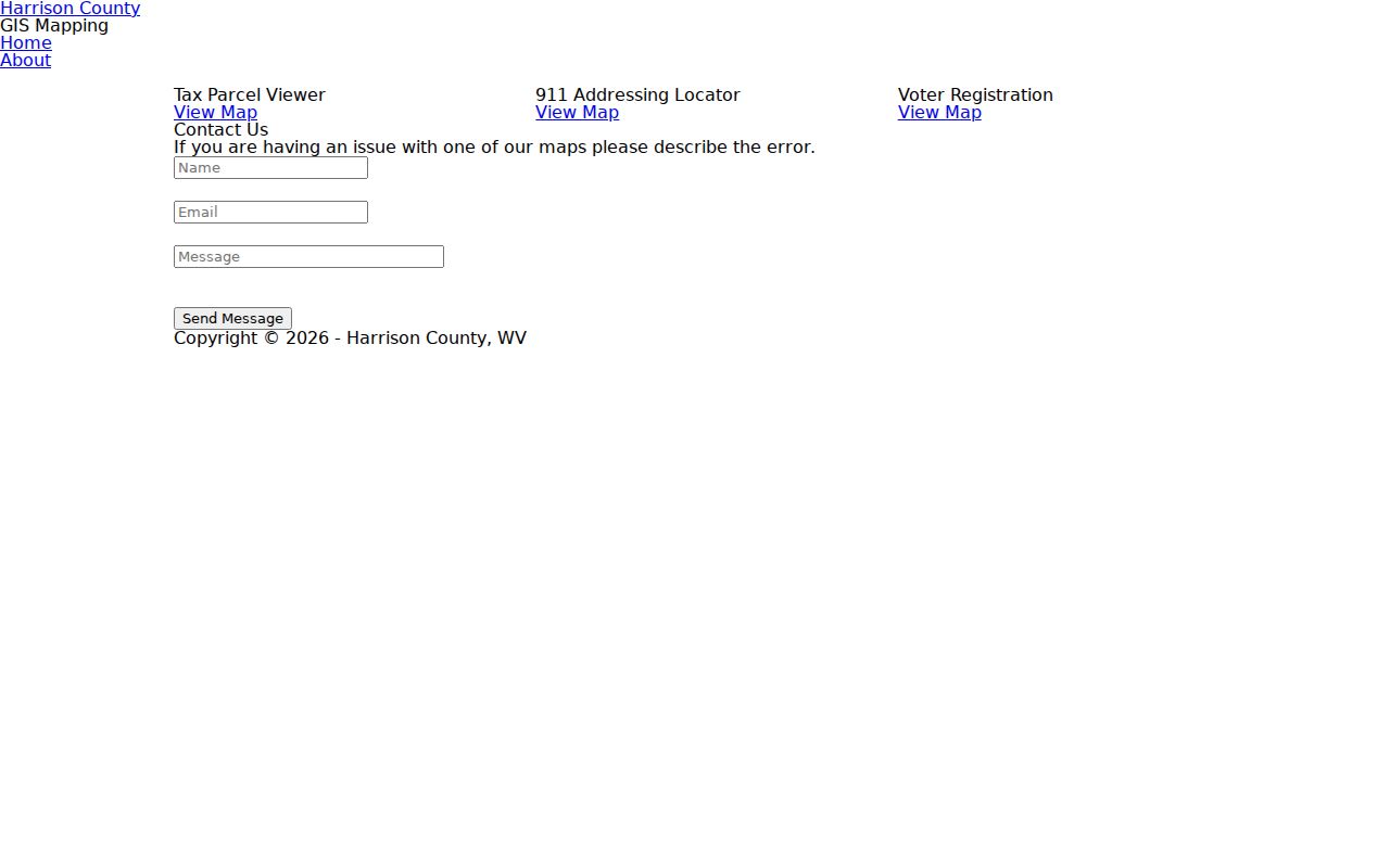
Use its 911 locator for an address point, then compare that point with the parcel boundary and situs label.
Search Bridgeport Assessor Fields
The Harrison County Assessor Ownership Search accepts owner names, parcel parts, and mineral accounts. Names are entered last name first, searches ignore case, and the percent sign works as a wildcard. A parcel key is split into district, map, parcel, and suffix.
| Field | Input | Search detail |
|---|---|---|
| Owner name | Text pair | Last name first; case-insensitive; % wildcard |
| Parcel | District, map, parcel, suffix | Use the parts copied from GIS |
| Mineral account | District, MAP/PARCEL, name | MAP/PARCEL has no spaces |
The assessor search capture preserves the visible modes and instructions.
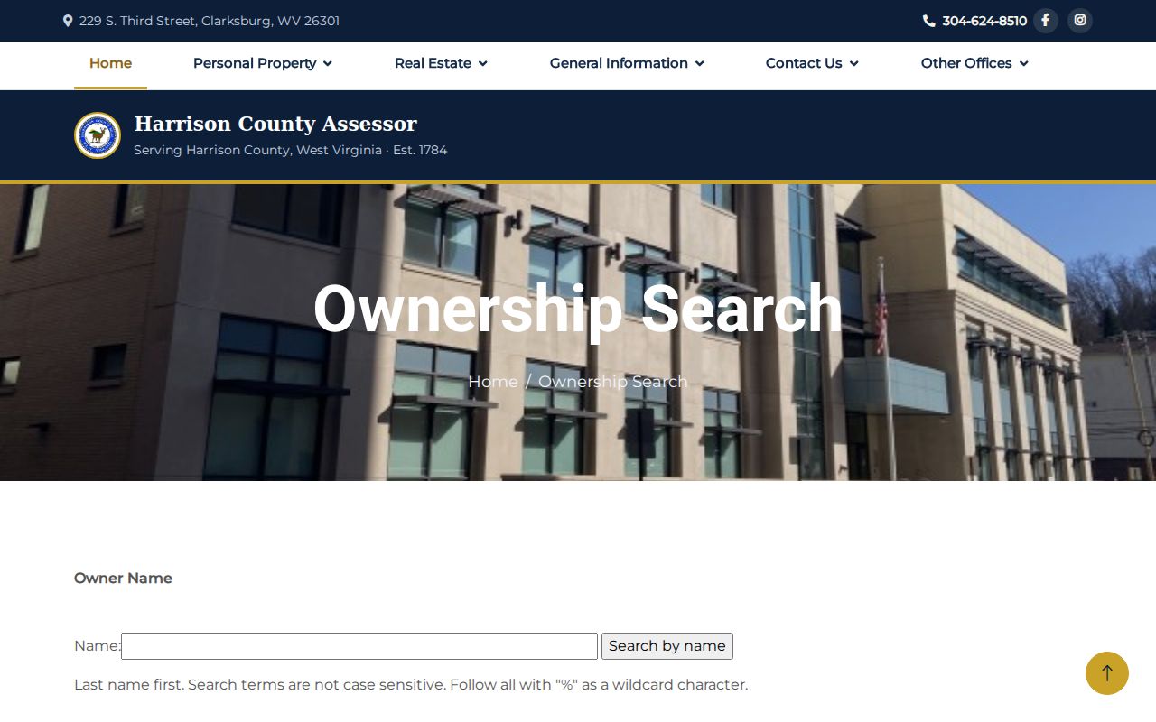
An owner result is a tax-roll lead. It does not prove that the owner lives at the situs address or identify other occupants.
Bridgeport Street Record Coverage
Each Bridgeport address system answers a different question. The street directory is strongest when those answers are kept apart and then linked by parcel key, legal description, person, and date.
| Source | Keeper | What it shows | Access |
|---|---|---|---|
| Property roll | Harrison County Assessor | Owner and parcel key | Online form, phone, counter |
| GIS parcel map | Harrison County GIS | Geometry, districts, boundaries, rights of way | Public map and query |
| Deeds and plats | Harrison County Clerk | Transfers, legal descriptions, lot and block | IDX, courthouse, Archives |
| Voter record | WV Secretary of State | One person's status, party, districts, polling place | Name and birth-date lookup |
| Permit or occupancy form | Bridgeport city | Project site, owner, work, use | Records request |
The deed description carries the trail farther back than a modern house number, while a permit dates physical work. A voter search is person-keyed, not a public screen for browsing every voter on a street.
Read Bridgeport Address Keys
Bridgeport and Harrison County records use several terms for the same place. Keeping them distinct prevents false matches in a by-address search.
- Parcel
- A mapped tax unit identified by district, map, parcel, and suffix.
- Situs address
- The physical location of the parcel or building.
- Plat
- A recorded map that identifies lots, blocks, roads, and subdivision boundaries.
- Criss-cross directory
- A directory arranged by street and house number rather than only by surname.
A mailing address is where the owner receives tax mail. It may differ from the situs. Older deeds may rely on a district, acreage, adjoining owners, or metes-and-bounds description instead of a street number. Metes and bounds describes boundary lines by courses and distances.
Follow Bridgeport Deeds by Address
The Harrison County IDX Search provides direct and reverse party roles, including grantor and grantee. Start with the current owner as grantee, find the likely purchase deed, and compare its legal description with the parcel. Then search the seller as an earlier grantee to move backward.
Deeds are only one branch. IDX also lists deeds of trust, liens, releases, plats, road records, rights of way, transfer-on-death instruments, wills, fiduciary records, and court-order deeds. Online coverage has no single stated cutoff. For older work, the WV Archives inventory lists deeds from 1786 through 1901, grantor indexes through 1946, and grantee indexes through 1967.
The IDX capture shows the portal that links Bridgeport street records to recorded parties.
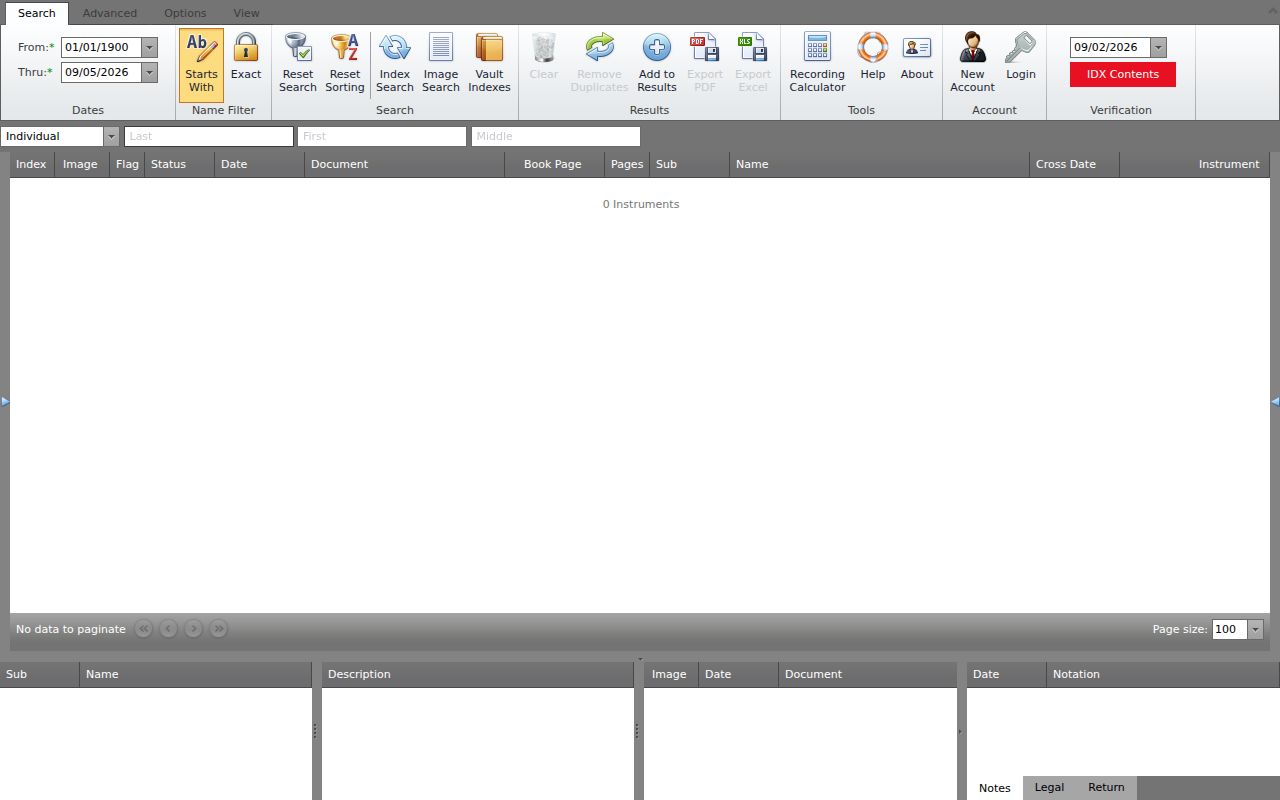
The named Simpson District Bridgeport land-book entry is a useful local clue, but the Clerk should confirm the span of any online series.
Note: An index hit points to a record; the image or a Clerk copy confirms what the instrument actually says.
Add Bridgeport Permits by Street
Bridgeport's building-permit application is strongly address-keyed. It asks for the owner, project site, contact details, flood-zone status, contractor and license, project category, declared value, permit number, and inspection approval. The occupancy and zoning form separates the property address, owner mailing address, and another occupant or business field.
No searchable city permit index was found. Request records from the Bridgeport City Clerk or use the city's FOIA request channel. The city requires its form, charges no request fee, may charge for copies or electronic data, and aims to respond within five working days. A focused request should name the street address, record type, and date range.
The city and county roles should not be mixed. Bridgeport keeps municipal permits, occupancy material, minutes, and city records. Harrison County keeps the assessor roll, land records, and the county parcel map from offices centered in Clarksburg. If a street directory question spans both sets, send separate requests to the offices that created them. The West Virginia Freedom of Information Act requires reasonable specificity, and a custodian must act as soon as practical and within five non-weekend, non-holiday days by providing the record, scheduling access, or denying the request in writing.
Resolve Bridgeport Street Changes
No official Bridgeport street-renumbering year or address crosswalk was located. When an old address stops matching, search both road names in the Clerk's road, right-of-way, and plat categories. Compare the GIS Old Boundary Line and Right Of Ways layers, then inspect the street section of an area directory.
Harrison County's 911 ordinance assigns mapping staff to coordinate with municipalities, USPS, the Assessor, and state mapping bodies. That makes the 911 Addressing Locator a sound place to test a dispatch address. The 2026 Bridgeport Comprehensive Plan describes growth and annexation planning at Charles Pointe and White Oaks, so save every map result with its date and jurisdiction.
Postal geography adds another layer. The primary Bridgeport ZIP found in official sources is 26330. Nearby Harrison County addresses may use Clarksburg 26301 or 26302, but those are not extra ZIP codes for incorporated Bridgeport. A Bridgeport postal label can also reach beyond the city line. In a by-street worksheet, store the raw address, the USPS-standardized form, the city-limit result, and the county district. This keeps a postal city from being mistaken for a municipal boundary.
Browse Old Bridgeport Streets
Historical directories reverse the modern process: a criss-cross or street section may take an address straight to an occupant. Reported Bridgeport-area years include 1905, 1907, 1909 through 1911, and scattered years through 1935. Clarksburg-area directory reels that include Bridgeport continue into the 1940s, but gaps are real.
Ask the Bridgeport Public Library history and genealogy desk or Waldomore whether a chosen volume has a Bridgeport street section. The full shelf belongs in the Bridgeport city directory. Here, record the year, publisher, street spelling, number, and exact entry before linking it to a deed or parcel.
Bridgeport Street Directory Limits
A property owner is not always an occupant. The assessor and deed index omit non-owner occupants, guests, and household members with no recorded interest. The public voter lookup needs a known first name, last name, and date of birth. It does not list all voters by street. USPS warns that a ZIP result does not confirm a person at an address.
Utility customer records, delivery data, and DMV addresses are not open directory sources. West Virginia's Address Confidentiality Program can substitute an address for eligible survivors, and protected voter or court information may be withheld or redacted. An empty result is not proof that an address is vacant.
The Secretary of State's public voter status tool is useful only when the person is already known. It asks for first name, last name, and date of birth, then returns registration status, party, districts, and polling place. The information is updated nightly and remains informational. A separate voter-data request can include residence address and county, with optional mailing address, precinct, and district fields, but terms, fees, and redactions apply. Neither channel converts voter records into a complete Bridgeport street directory because children, unregistered adults, people who moved, and protected participants may be absent.
Lawful use. Use Bridgeport address records for lawful personal research, such as parcel or family history. Never use a street search to stalk, threaten, harass, or harm anyone.